Term 4
Learning Lift Off
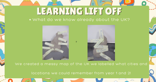
An accessible text version of this graphic can be downloaded at the bottom of this page!
An accessible text version of this graphic can be downloaded at the bottom of this page!
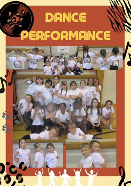
Dance Performance
Some of our year 4s took part in the Astor dance workshop. They have been learning a dance routine every Friday and had the chance to then perform it in front of their parents, friends and 4 other schools.
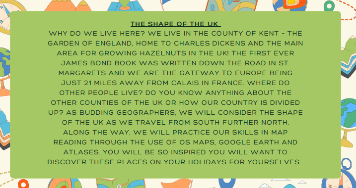
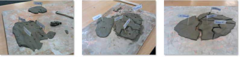
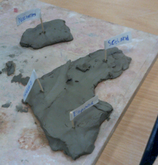
Topic – The Shape of the UK
Our Topic this term focuses on the shape of the UK and how it compares to other parts of the world. We started by created our own versions of what we thought the UK looked like using clay. We then compared our thoughts to the actual shape – we were quite surprised! We have also been practising the countries and capital cities within the UK. Have a go and ask us!
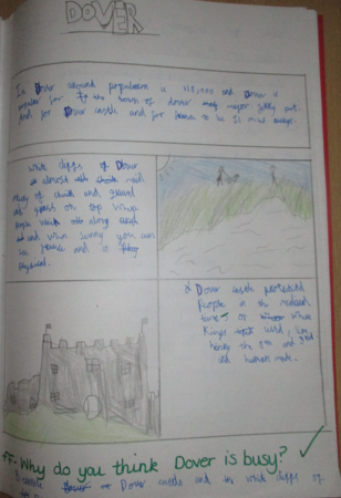
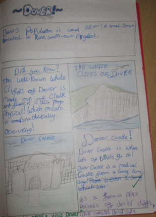
Topic – All About Dover
In our topic lessons, we discussed the human and physical features in Dover by thinking about what landmarks would encourage people to visit Dover. There were lots of places that we had not thought about and we also enjoyed looking at images of these places to help us understand why people would visit them.
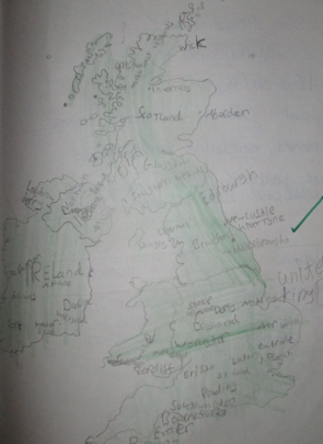
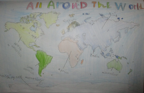
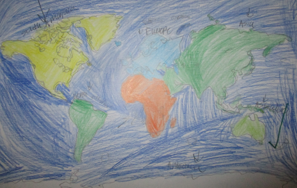
Topic – The World
We had a great time drawing and tracing the world map by focusing on the small details. It took a lot of patience and time to get all of the details included. We located the different continents of the world.
“I didn’t know that it looked like that.”
“Wow – that is a huge ocean between those continents.”
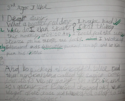
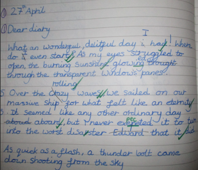
Writing – Diary Entries
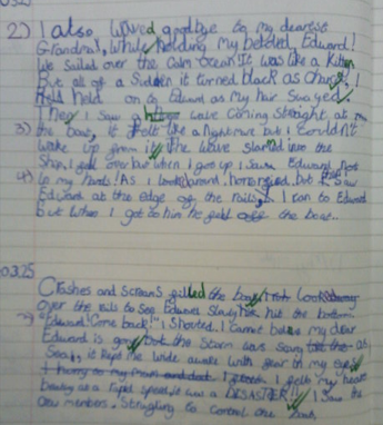
This term we have started looking at our new book “The Miraculous Journey of Edward Tulane”, we have then created our own diary entries considering how Edward would be feeling. We found this really interesting as Edward is a toy rabbit and we had to use personification to show ‘human-like’ features.
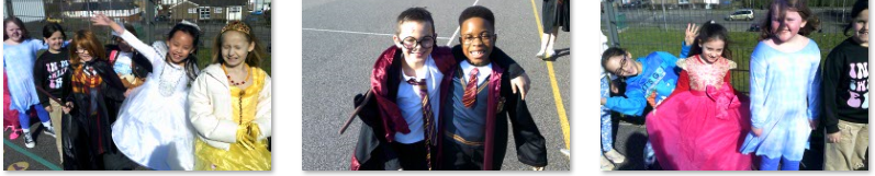
World Book Day
We had great fun on World Book Day! We discussed our favourite characters and had a parade around the playground.
“This is so cool!”